ODK
To overcome some of the limitations mentioned in Limitations, and in order to improve the accuracy of the modelled catchments, the actual sewage situation in a city can be added to a map. This can be done in two ways:
Digitization of the sewage flow using an offline editor such as QGIS and uploading this via the editor (see Sewage lines)
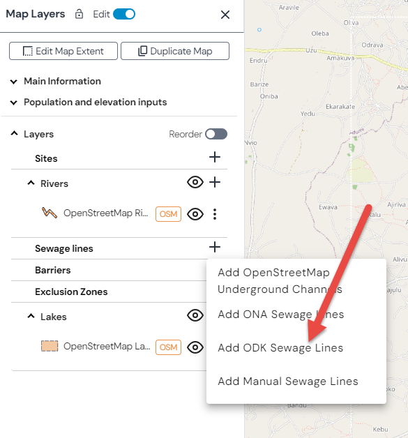
Collection of major sewage lines on the ground using a mobile phone and ODK.
To support the latter, a set of Open Data Kit (ODK) forms has been configured. These forms can be used to:
Record an Environmental Site location
Digitize a waterway
You can make use of this system by following three steps:
Install Open Data Kit (ODK) collect on your phone
Within Open Data Kit (ODK) collect, click on ‘Add Project’
Scan a QR code from within ODK - to obtain the QR code, please contact us
Once done, you can digitize sewage channels in your location of interest using these forms or digitize site data using these forms.
Hint
Adding this collected data to your map is very easy if you are using the provided WHO ODK server (check Sewage lines). However, if you have your own ODK server or another system to collect data, you could import this via xMart.
For instance for adding ODK collected sewage lines: