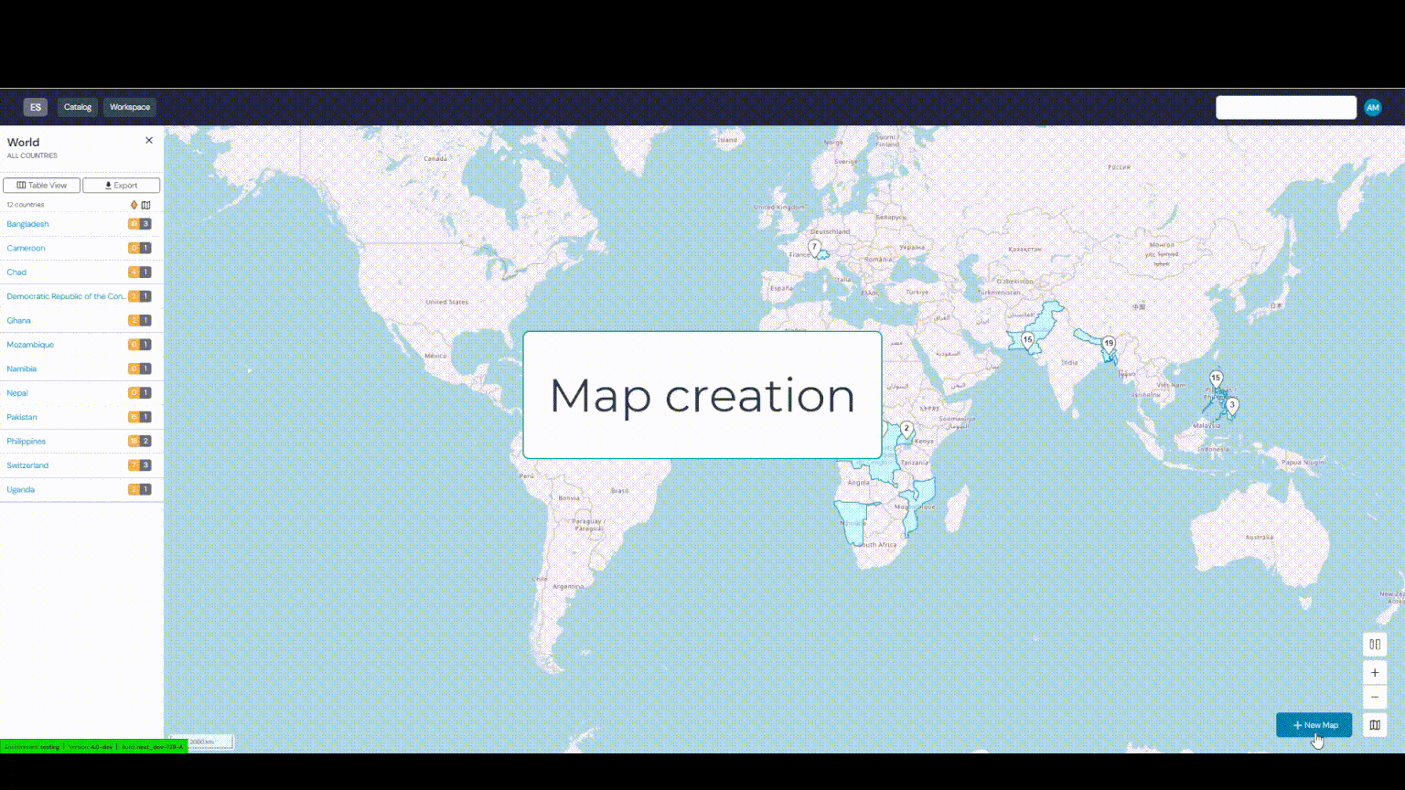
Environmental Surveillance Catalog
Background
Traditional monitoring of poliovirus circulation in a population through reporting observed acute flaccid paralysis cases can be inadequate since 99.5% of infected people are asymptomatic. However, since the virus is shed in the faeces of infected individuals, sewage monitoring can give an accurate picture of a community’s viral contamination. More recently, sewage monitoring has become relevant for many other viruses and pathogens, like COVID-19 or Cholera. To help identifying sites to perform this type of monitoring, this platform has been developed.
How it works
The hydrological model underlying the solution uses topography and elevation data to estimate stream networks and to delineate the area that contributes sewage for each sampling location. This allows users to identify possible new sampling sites. Manmade sewers, waterways or underground pipes can be integrated to improve the accuracy of the model. As a default, the solution uses publicly available population models to estimate the number of people within an area that contribute to a sample. Population estimates can be used to plan an effective vaccination campaign or other intervention in the areas at risk if an environmental sample tests positive. The hydrological processing uses a set of open-source tools available from https://www.whiteboxgeo.com/.
Objectives
We provide a platform to do the following:
This platform is meant to support environmental surveillance (ES) of wastewater in the sense that the application helps to:
Maintain an inventory of environmental sampling sites
Help the identification of optimal locations for new sampling sites
Compute the theoretical catchment area for each site
Leverage GIS-based population models to estimate catchment populations
Help to identify where to act following a positive sample (e.g. vaccination campaigns, COVID-19 curfews, etc)
When available, sampling frequency dashboards
Provide a way to link laboratories and sites
Each map depicts
The approximate location and flow direction of the synthetic streams (drainage lines) / waterways
If applicable, active ES sites and their estimated catchment (area and population; population estimates are typically derived from the WorldPop spatial demographic dataset, but users can upload their own datasets when creating maps. For a given map, the underlying population data is always indicated).
Any additional dataset that the user has added to the map (ie rivers, lakes, sewage lines and more)
User Guide
This online guide is designed to assist you in getting to know the Environmental Surveillance platform and explain the best practice for its use.